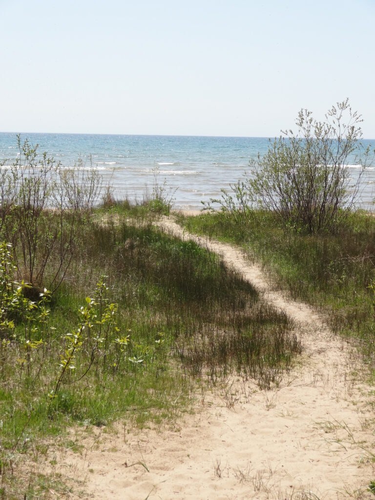
A path to a beach on northern Lake Michigan. Image credit: Marie Zhuikov, Wisconsin Sea Grant
With the unusually warm winter this year, swimsuit season might be approaching earlier than previous ones. With recreational beach season comes the scientific testing to ensure beaches are safe for the public. An estimated 8 million people visit Great Lakes beaches every year. Unfortunately, because traditional testing methods take 18-24 hours to process, information used to evaluate water quality and communicate health risks is generally a day old, meaning swimmers might be recreating when conditions aren’t safe. On the other hand, swimmers could be kept out of the water at times when no problems exist.
An analysis published in 2014* determined that nearly one in five decisions to post or remove swim advisories were made in error in the Great Lakes (between 2008 and 2010), including nearly 3,000 unnecessary advisories/closures and at least 4,500 missed advisories or closures.
A free Windows software developed by the U.S. Environmental Protection Agency named Virtual Beach addresses these shortcomings by providing beach managers with timely and cost-effective alternatives to traditional monitoring. It can help them to decide whether to issue (or lift) swim advisories/closures on a given day.
By using the software to build a model, users can predict water quality conditions at any time, on both sampled and non-sampled beaches that are monitored on the Great Lakes Coasts.
With a grant from the Wisconsin Coastal Management Program, Wisconsin Sea Grant has updated video tutorials that accompany six training modules for the Virtual Beach software and created a training course that can be completed at any time via the Canvas platform. Beach managers can use it to familiarize themselves with the software.
“While our Virtual Beach training modules have been available for several years, the decommissioning of the data service EnDDaT limited their usability. Our new course explains how to collect the data needed to build a Virtual Beach model without EnDDaT and allows beach managers to go through Virtual Beach training on their own time,” said Natalie Chin, Wisconsin Sea Grant’s climate and tourism outreach specialist.
Chin worked with Madeline Magee with the Wisconsin Department of Natural Resources and Casey Garhart with the University of Wisconsin-Madison Division of Extension’s Instructional Design Unit to develop training materials. If you are interested in completing Virtual Beach training, please contact Natalie at nchin5@wisc.edu.
The Virtual Beach software was developed by the U.S. EPA’s Ecosystem Research Division, in partnership with the USGS Wisconsin Water Science Center, the Wisconsin Dept. of Natural Resources and Wisconsin Sea Grant.
* Expanded Beach “Nowcast” Modeling Across Wisconsin, Adam Mednick and Dreux Watermolen, Bureau of Science Services, Wisconsin Department of Natural Resources, August 2014.