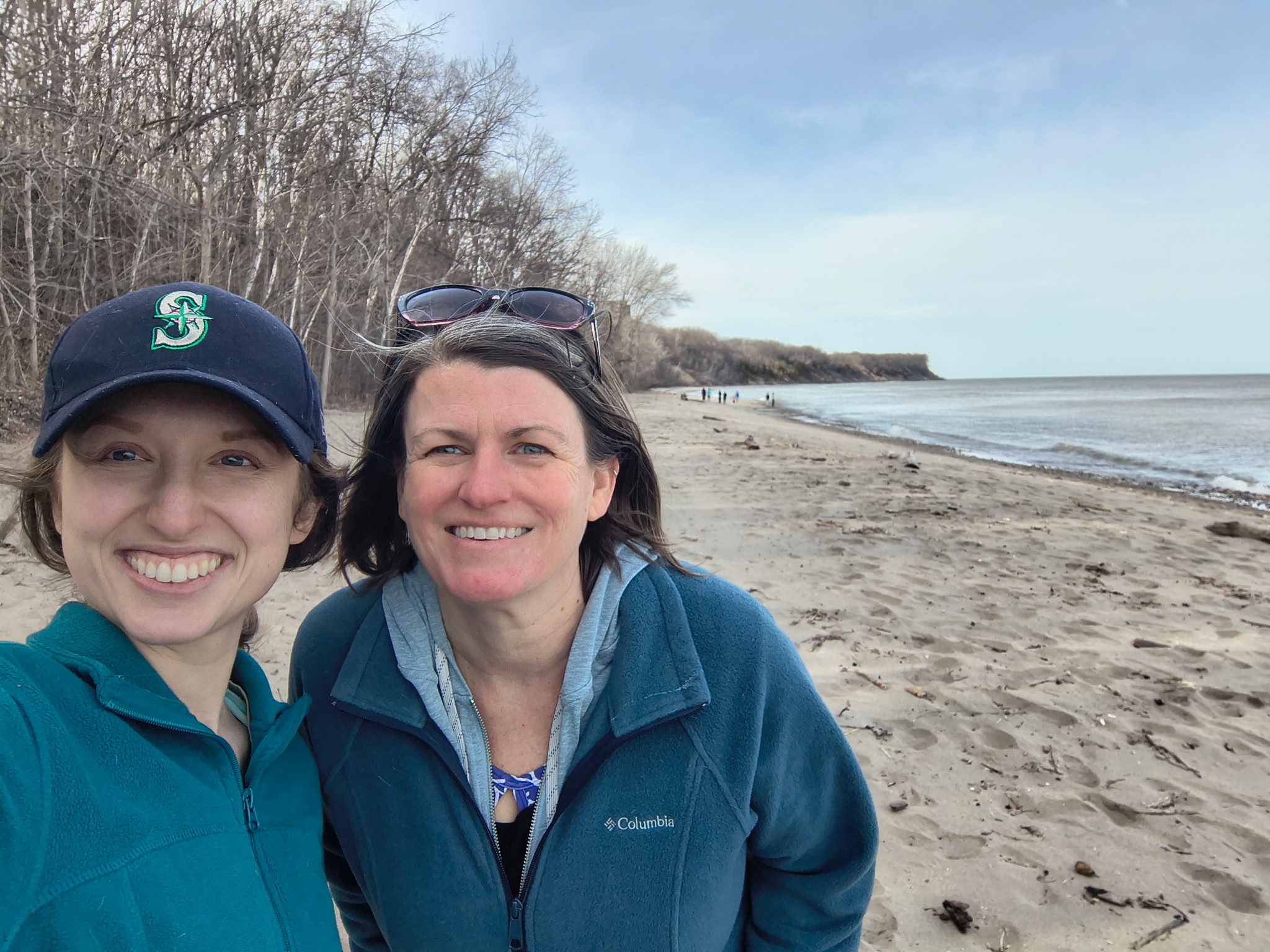
On Oct. 4, members of the Coastal Hazards of Superior (CHAOS) community of practice gathered atop a bluff overlooking Lake Superior to discuss the stability of the ground beneath their feet.
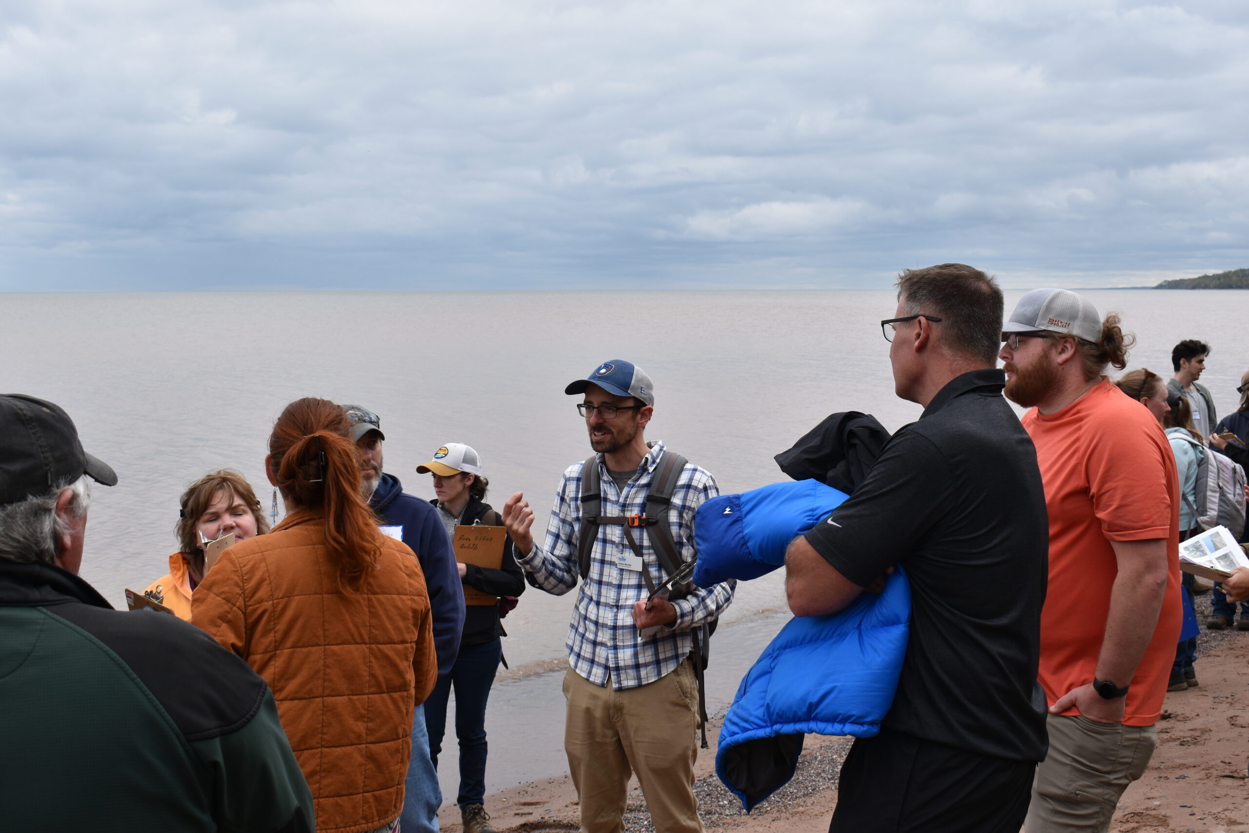
Adam Bechle, center, discusses shoreline erosion with workshop participants along Schafer Beach. Photo: Cait Dettmann, Minnesota Sea Grant
The group brought together planners, zoning officials and individuals from local, state and federal government in both Minnesota and Wisconsin to share ideas and resources about coastal issues facing western Lake Superior. October’s meeting at Schafer Beach in Superior, Wisconsin, featured the debut of a new tool designed to document shoreline erosion, which threatens homes and other structures built atop bluffs.
Adam Bechle, coastal engineering outreach specialist with Wisconsin Sea Grant, and Hannah Paulson, the 2022–2023 J. Philip Keillor Coastal Management Fellow, developed the tool, which is a checklist that helps coastal property owners spot signs of erosion. It describes visual indicators like tilted trees and ground cracks and provides photos of each.
Said Bechle, “[It’s] a way to document what you see at the site. And if you’re a property owner, [it’s] something to refer back to and maybe do annually to look for signs of change.”
And atop a Great Lakes bluff, change is constant. Storms, wind, ice and wave action all impact how fast land erodes. High water levels, like the ones both Lake Superior and Lake Michigan have experienced in the past five years, exacerbate erosion and flooding.
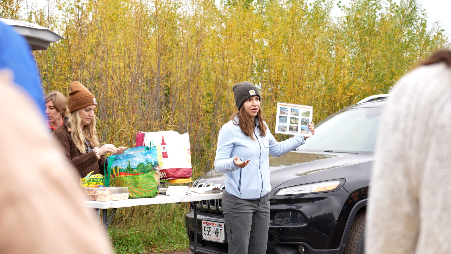
Hannah Paulson explains the erosion checklist. Photo: Cait Dettmann, Minnesota Sea Grant
Taking a longer look through history, lake levels have fluctuated even more drastically. Andy Breckenridge, a geology and environmental science professor at the University of Wisconsin-Superior who presented at the workshop, revealed that where participants stood atop the bluff used to be at the bottom of Lake Superior.
“Lake levels have been much higher than today, and they’ve been much lower than they’ve been today,” said Breckenridge. “And for that reason, this coastline has gone through dramatic changes. It has not looked like this for most of the last 12,000 years.”
With the long view in mind, CHAOS members snapped the erosion checklists to their clipboards and maneuvered down the bluff to give the tool a test run. Bechle and Paulson were joined by Todd Breiby and Lydia Salus of the Wisconsin Coastal Management Program, current Keillor Fellow Helena Tiedmann, Karina Heim of the Lake Superior National Estuarine Research Reserve and Madison Rodman of Minnesota Sea Grant in engaging CHAOS members about what they saw.
Tilted trees, a ground crack, lack of vegetation and a spot where groundwater was seeping through the bluff were some of the signs participants spotted. The activity sparked conversation about the importance of photos to explain erosion to property owners, with one participant noting the need for images of erosion after strong storm events.
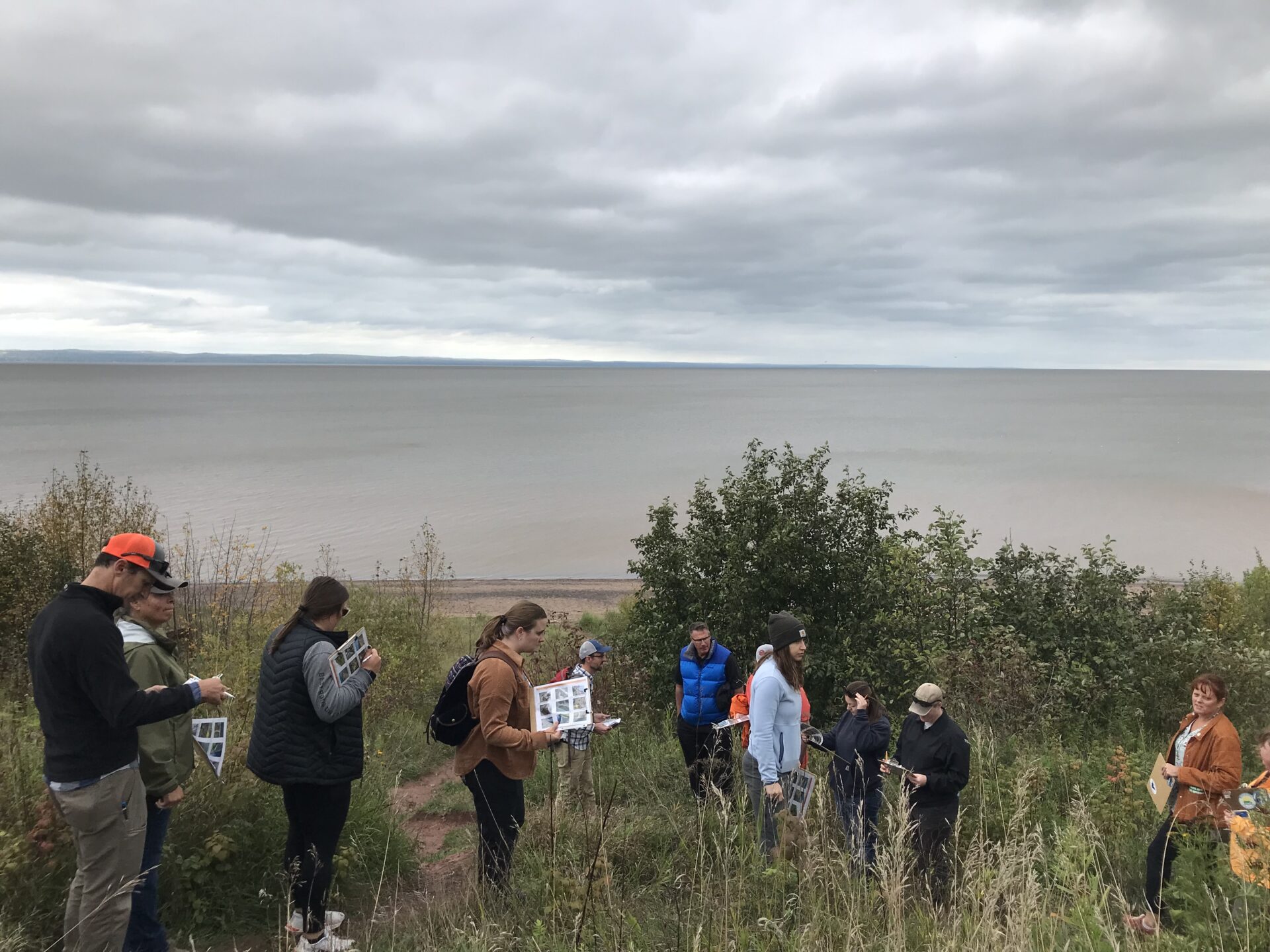
Workshop participants assess the bluff for signs of erosion. Photo credit: Wisconsin Sea Grant
Said Paulson, “I think we got some good suggestions for refining the tool even more.”
Returning to the top of the bluff, participants then cycled through three stations showcasing additional tools to assess bluff stability. One station showed how topography maps can be used to estimate slope—a helpful method if not physically on the property—and another demonstrated how to use an inclinometer to gather exact slope measurements on site. Participants also tried their hand at measuring the high point of the bluff using a reel tape.
While it may be tempting to frame erosion as the antagonist in this story, Bechle is careful to point out that without it, we wouldn’t have beautiful sand beaches, as much of that sand comes from eroded bluff soils. That’s why it’s important to make careful, informed decisions about if and where to build structures on bluffs and shorelines.
“Erosion is a natural process, and if we weren’t here, it would just be occurring,” said Bechle. “It’s not a bad thing; it’s just a bad thing because we have things we care about that might get impacted by it.”
Bechle and Paulson plan to include the checklist in an updated version of the “Coastal Processes Manual,” which is under development. In the meantime, coastal residents interested in maintaining and improving the stability of their bluff can refer to Wisconsin Sea Grant’s “A Property Owner’s Guide to Protecting Your Bluff.”


