What happens when emergency managers, tree planters and community scientists walk into a room? A discussion about rainfall, naturally.

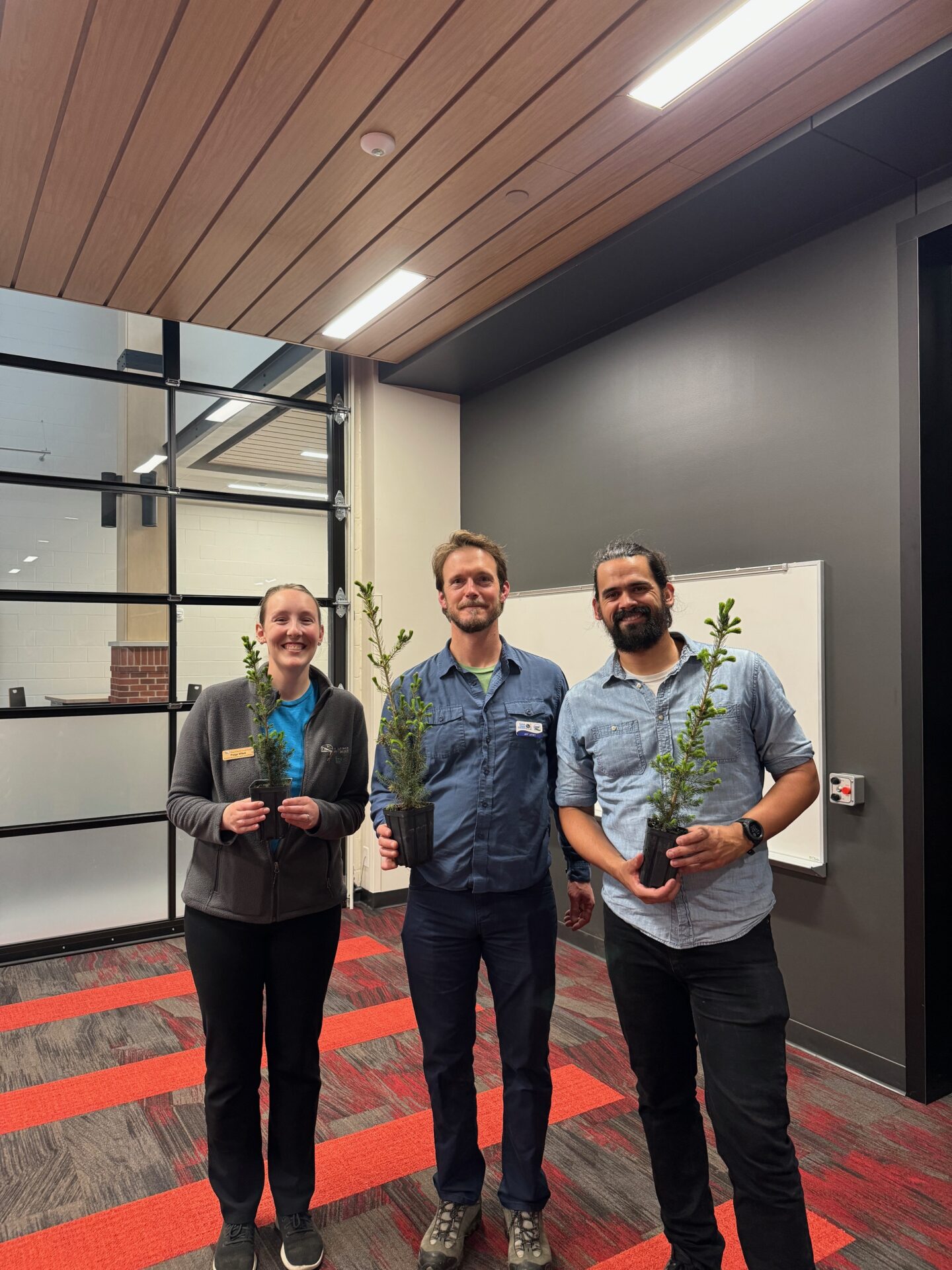
The hosts of the “Weather, Climate and Community” event: Paige Witek of Door County Land Trust, Jeff Lutsey and Jackson Parr.
In mid-May, Wisconsin Sea Grant Flood Resilience Fellow Jackson Parr partnered with the Door County Land Trust and the Climate Change Coalition of Door County to lead a community event about local rainfall trends and to recruit volunteers to measure precipitation in their backyards. Parr, a former Keillor Fellow, organized the talk as part of a National Sea Grant Office-funded project on disaster preparedness in northeastern Wisconsin. He said the event brought together folks with diverse environmental interests in conservation, community science and climate change.
“In the other counties I’ve worked through with this grant, the audiences have tended to be emergency management, first responders, municipal staff — the professionals that are more frontline folks in disaster mitigation, preparedness and response,” said Parr.
“[This] was somewhat of a different audience that still had an interest in these topics — climate change, rainfall, citizen science — but otherwise probably wouldn’t have thought too much about, you know, NOAA Atlas 14 precipitation estimates.”
The “Weather, Climate and Community” event was born of a mutual desire for precipitation data and community engagement. Parr connected with Jeff Lutsey, Director of the Door County Climate Change Coalition, who organizes the Door County Big Plant, an event that gets thousands of trees into the ground each year. Lutsey wanted to know where and how much rain falls across the county to better allocate water to thirsty new trees. Parr wanted more spatial information about extreme rainfall to help municipalities plan for floods.
The problem? Precipitation data across northeastern Wisconsin is sparse.
So, Parr and Lutsey partnered with a local conservation nonprofit, the Door County Land Trust, to recruit volunteers for the Community Collaborative Rain, Hail and Snow Network (CoCoRaHS), a national network of community scientists who measure and record precipitation. More volunteers mean more data points on the map, which means a more complete picture of rainfall across the county.

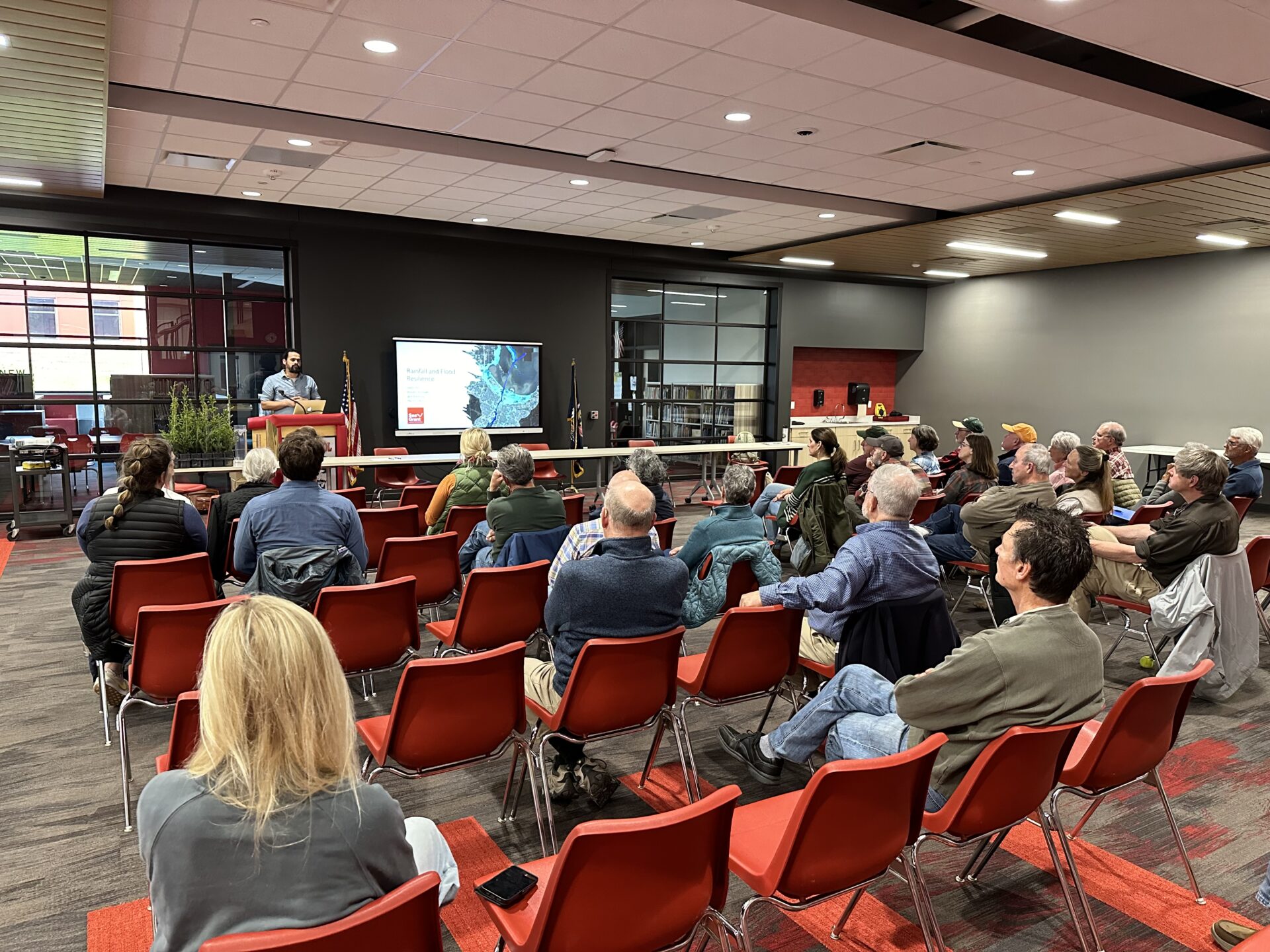
Jackson Parr presents findings from a rainfall and flood vulnerability analysis for Door County and Sturgeon Bay at the event. Photo: Jackson Parr
The event was successful in filling those gaps. Parr said 13 people signed up for rain gauges, more than doubling the current number of weather observers in Door County. Those are important numbers for a region experiencing more intense rainfall.
“We’re seeing the number of 2-inch rain events increase, particularly in the last decade,” said Parr.
Being prepared to handle increased rainfall and flooding is at the center of Parr’s grant-funded project. For the last two years, he’s been working with coastal communities in northeast Wisconsin on natural disaster planning, paying special attention to policy and planning documents.
“What are ways in which we can improve the policy language in those plans to better account for coastal hazards?” said Parr. He’s currently drafting recommendations and sample language for municipalities to use in updating comprehensive and hazard mitigation plans.
Parr is continuing similar work as a climate hazards planning educator with the University of Wisconsin–Madison Division of Extension’s Natural Resources Institute, where he’s helping rural communities prepare for extreme weather on a project funded by the Rural Partnerships Institute.
He’s also busy installing 13 new rain gauges across Door County. While the new volunteers may be more interested in well-watered gardens than flood resilience planning, Parr is excited to see folks getting involved, whatever the reason. The data is useful for gardeners, tree planters and emergency planners alike.
“In addition to checking your rain gauge to see how much your tomatoes got, you can log on to an app and take 10 seconds to tell us how much rainfall you see,” said Parr.


