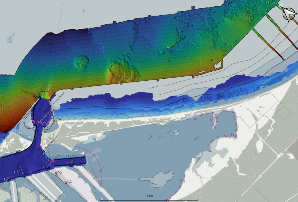
A map of the underwater substrate near the Superior Harbor Entry with Wisconsin Point in the middle, western Lake Superior. Image by Brandon Krumwiede, NOAA.
The next River Talk will be at 6:30 p.m. Wednesday, March 13, with “What Lies Below? Underwater Mapping Near and in the St. Louis River Estuary,” an in-person and virtual presentation by Brandon Krumwiede with the National Oceanic and Atmospheric Administration. His talk will be held at the Lake Superior Estuarium (3 Marina Dr., Superior, Wis.). Refreshments will be provided.
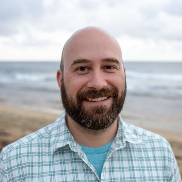
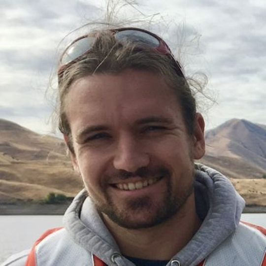
Brandon Krumwiede. Image credit: National Oceanic and Atmospheric Administration
Krumwiede’s work as a Great Lakes geospatial coordinator is varied and interesting. One day, he might analyze satellite data, the next, he might give a public presentation like River Talks. Krumwiede enjoys finding the connections between people, the land and the water. In his talk, Krumwiede will describe current efforts and technologies used to improve understanding of the underwater world near and in the estuary and its importance in coastal natural resources management.
To join by Zoom, please pre-register at this link:
https://uwmadison.zoom.us/meeting/register/tJcvcumrrj8vGNer4dHKwdZpxEoIVief60nR
For accessibility accommodations related to sound, language and translation, mobility or anything else to make engagement possible, please contact Luciana at 715-399-4085 or Luciana.Ranelli@wisc.edu, as soon as possible.
The final River Talk of the season will be held April 10. For more information, visit the River Talks page: go.wisc.edu/4uz720.
The River Talks are sponsored by the Lake Superior National Estuarine Research Reserve and the Wisconsin Sea Grant Program.
